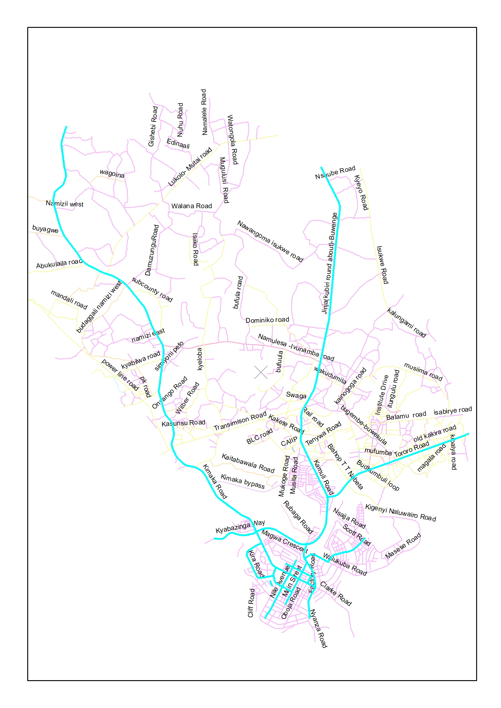
About Jinja City
Jinja is arguably Uganda’s heart beat; it is a gem of unrivaled beauty, an asset to Uganda of humongous economic potential and a testament to nature’s benevolence. From playing host to the World’s famous River Nile to anchoring Uganda’s major power dams, Jinja is developing a well planned, serene and tranquil town.
Jinja City is of regional importance as it is considered to be the regional capital of Busoga sub region, Its is growing rapidly as a result of having over 80 industries that employ over 8000 people, Presence of hydro power dams for the supply power for both domestic and commercial use, its location along the Trans African high way, Jinja port, and the railway station that boosts both local and foreign trade. Jinja is also a home to the source of river Nile, the world’s longest river and one of the seven wonders of the world thus boosting tourism. Its also the cultural seat of the Busoga kingdom. Furthermore the presence of private public Patternships that foster development like (madhivan group of co., Bidco, Eskom, Nile breweries etc) are worthy mentioning
Objectives Of Jinja City.
- To promote local economic development.
- To reduce poverty and improve livelihood status of the community
- To promote tourism and cultural development.
- To improve access to quality of Health services and reduce prevalence of HIV/AIDS.
- To enhance environmental Management and physical planning.
- To foster education and Human development.
- To improve Governance and Management.
Topography
The landscape takes the form of tapering plateau, which sits approximately 1,230 meters above sea level at its highest point. Lake Victoria drains the Municipality and hosting the islands of Samuka , Kisima 1&2 and Lwabitoke which also form part of the town..River Nile roars out of Lake Victoria at Rippon falls and marks the Eastern barder of Jinja.
Climate
Jinja City enjoys a pleasant climate with temperature varying between 20C and 30C.It also receives an average rainfall of approximately 112.5 centimeters. The portion of the Nile basin experiences an equatorial type of climate with two dry and two rainy seasons every year. March to May is the main rainy period with April receiving the highest rains. The September to November period constitutes the second rainy season. December to February and June to August are dry periods.
Soils and vegetation
The soils range from clay loams, sand loams to Murram in most areas of the City. Vegetation is mainly open Savannah grass which is, in some places mixed with woodland.
Settlement.
The City is fairly densely built with high and medium income houses dominating, followed by commercial premises especially in the Central Business District (CBD) and then high-income housing. A series of industrial establishments have also contributed to the city settlements.
Administrative structure
The City boundary encloses a total land area of about 215 sq. Kilometers and is compose of composed of 2 Division i.e. Jinja City South (60 sq Km) , 28 of which is covered by water and Jinja City North 155 sq. kilometers
Jinja City is composed of 26 Wards and 141 villages
Demography
By 2014 the City had a total population of 247,074. This was night population and estimated at 400,000 during the day. Now as a city the population is estimated at 307,414, persons during the night. The population growth rate is estimated at 3% per annum.

Tourist attractions:
The source of the Nile and the new Nile bridge
Water falls on River Nile like Bujagali falls, Itanda falls,
Historical church at Kamukuzi
Beautiful environment.
Farming practices like Kakira sugar plantation.
Islands like Samuka popular for bird watching.
Water sports like bungee jumping, water rafting on the Nile.
Snake park at the source of the Nile.
Jinja sailing club.
Jinja golf course.
Cultural entertainment.
Floating bar and restaurant.
City Contacts
- DepartmentEmail
- Office Of The Mayormayor@jinjacity.go.ugdeputymayor@jinjacity.go.ug
- Office Of The Town Clerktownclerk@jinjacity.go.ugdeputytownclerk@jinjacity.go.ug
- General Inquiriesinfo@jinjacity.go.ug
